|
|
Post by Tim on Jul 27, 2009 21:22:43 GMT -5
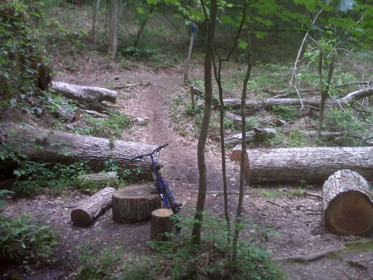
Description: Traverse boulder fields and skirt eroded hollows on this 10.8-mile loop across the roof of the longest mapped cave system in the world. Directions: Follow directions to Mammoth Cave State Park (off I-65). Just before the Visitors Center turn off, take the road to the Green River Ferry. Take the ferry across Green River (all 35 yards of it), and go straight approximately 3 - 4 miles. Turn left at the Maple Springs campground sign and follow the road to the trailhead parking (approx. 3/4 mile, look for the horse trailers).
[url=http://maps.google.com/maps?daddr=Sal+Hollow+Trailhead,+KY+%4037.204047,-86.139293&geocode=&dirflg=&saddr=evansville,+in&f=d&gl=us&dq=sal+hollow+loc:+Cave+City,+KY&sll=37.086343,-86.208152&sspn=0.283558,0.585467&cid=7107109296026372650&ie=UTF8&ll=37.564174,-86.84967&spn=0.979706,1.766052&z=9 ]Google Maps[/url] __________________________________________________ Trail Maps: Interactive MapPark Map
|
|
ricdix
Junior Member
 
Posts: 73
|
Post by ricdix on Aug 25, 2011 11:40:52 GMT -5
fyi.... Don’t forget that this weekend will be the last weekend bikes are allowed on the Sal Hollow Trail at Mammoth Cave National Park!!! Bowling Green KyMBA is providing free camping at Maple Springs Campground (G1) on Friday August 26th 2011. If we have a big turnout and people want to stay on Saturday night; KyMBA will pick up the tab! We plan to have a group ride Friday afternoon, a group ride on Friday night, a group ride Saturday morning and then rides throughout the rest of the weekend! We hope to see you on Sal Hollow!!! Bowling Green KyMBA www.kymba.org/forum/index.php?topic=570.0 |
|


