|
|
Post by marshall on Jun 12, 2009 8:52:10 GMT -5
Located on Evansville's West side on the grounds of the University of Southern Indiana Directions: Follow 62 west to the university, from there take University Blvd to Bennett Lane. Take Bennett Lane to the baseball field, entrance is to the right of the fieldA large step in technical ability, is to ride the trails at the University of Southern Indiana. There are two options to choose from-along Reflection Lake or behind the baseball men's diamond. A mountain bike for both is practically a requisite. The hilly terrain demands a bike with different gearing options. Beginning at the edge of the westernmost parking lot, the main trail along the lake is wide and fast but has a few short hills that are nearly impossible to ride all the way to the top. Scales warns that one section sports railroad ties for stairs and could be dangerous for novices. He advises riding the minor trails that lead near the lake's edge. "They're tight trails, and with the lake you have some scenic resting spots." Relatively short, the trails can be ridden in less than an hour but provide enough terrain to be challenging and scenic. Behind the baseball diamond is a wide road that offers decent riding, especially for novices. It begins flat, then features hairpin curves and steep hills. It opens to a field, so you can either explore other trails or backtrack. Along the road, trails abound, and this is where the adventure really begins. Scales says, "There are enough trails to keep riding for hours. Although the grounds are limited, it's easy to feel lost. More than the trails around Reflection Lake, these require a decent level of physical ability. The hills are longer and the terrain more varied, from flat dirt to rutted, washed-out downhills." A number of hills are long and steep. Even experienced riders have to dismount and walk their bikes. The principal obstacle is the frequent hills ... which are exhilarating to ride down but discouraging to walk up. "It helps to be in shape to ride at USI. It's a good place to get in shape, though, just by working on the hills," Scales adds. However, if you see large crowds (and no baseball game), find another place to ride. The trails are also used for cross country running meets.
Google MapsTrail Map |
|
|
|
Post by Tim on Jun 21, 2009 11:48:27 GMT -5
I may go out there tonight, I have not been out there in a while.
I'll take some photos. Last time I was there someone had built
ramps.
|
|
|
|
Post by Tim on Jun 21, 2009 22:03:00 GMT -5
Well this was a complete waste of time. It's been a few years since I have been out here and I think I may have been the only bike out there since then. It's obvious that there has not been much (any) upkeep since the ice storm. It's kind of sad actually. there are still a few places that are rideable, mostly on the north side of the woods. Everything else has tree limbs or trees blocking the trail. There were a lot of people running when I was there and it is after all a cross country track, too bad the athletic dept at USI can't maintain it somehow. right now it's a mess. Also, the trails are slick from the rain last night. it must have really rained pretty hard out there. 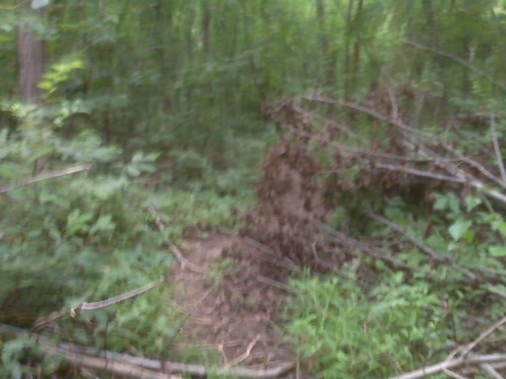 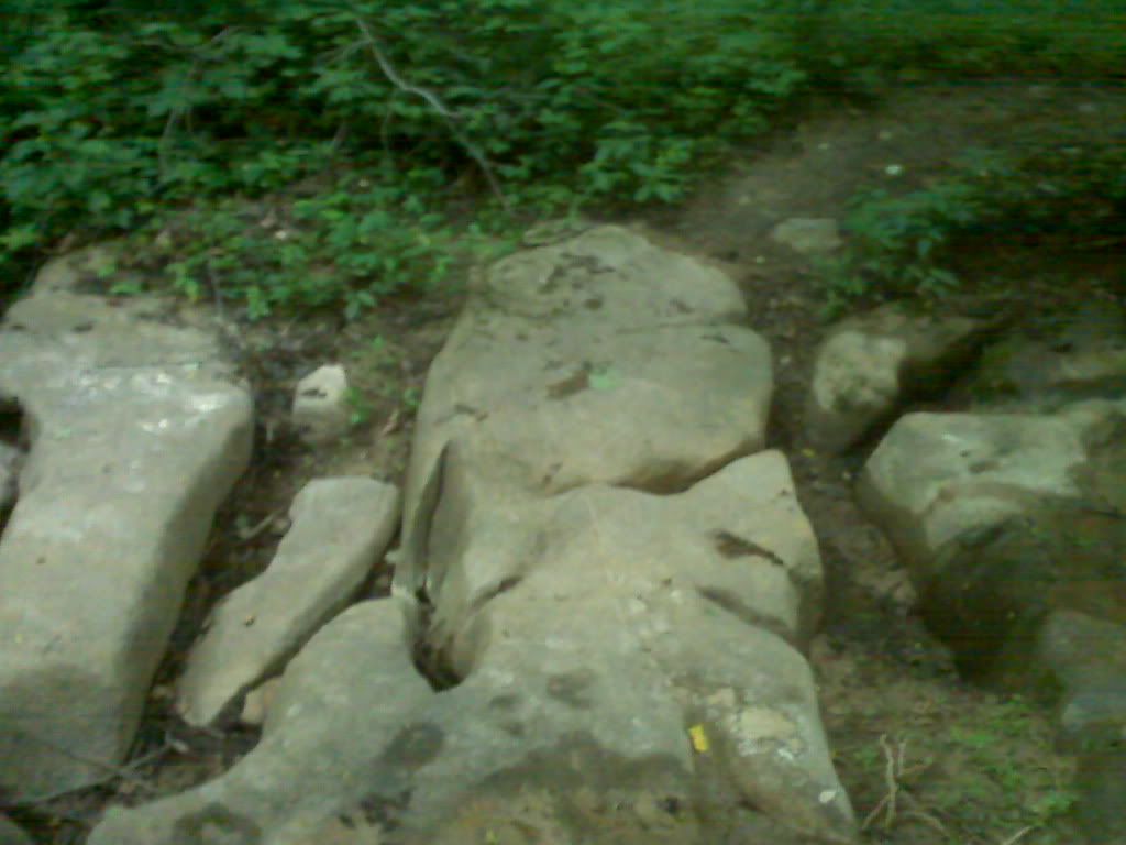 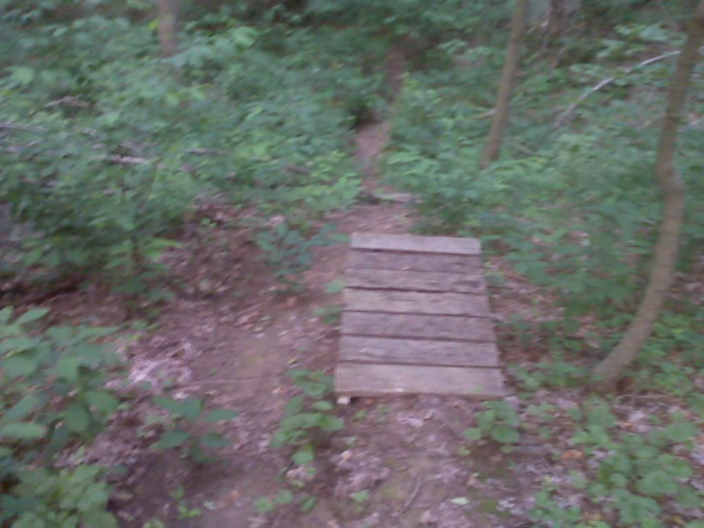 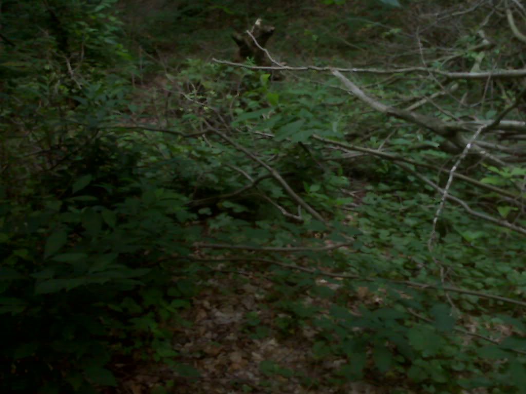 |
|
katshipp
New Member
 Kickin' it old school
Posts: 35
|
Post by katshipp on Jun 23, 2009 10:17:26 GMT -5
Yeah, USI is a mess. We went out there two weeks ago and it was brutal. It was pretty much pedal on the flat bits, get off and walk up the hills due to roots and downed branches , crash into trees on downhills due to roots and erosion and fallen limbs... There was one really sweet part, though... there was a creek with a huge, water-carved rock across it for a bridge. Really challenging, and the awesome factor was a 10. But I couldn't find it again if my life depended on it  |
|
|
|
Post by Tim on Jun 23, 2009 13:22:22 GMT -5
I think your refering to the one in the photo above.
I spoke to the athletic director about volunteering to clean it up some.
here's what he had to say:
Time will tell I guess.
|
|
katshipp
New Member
 Kickin' it old school
Posts: 35
|
Post by katshipp on Jun 23, 2009 14:50:55 GMT -5
Might be, but I can't see the photos from the computer at work, so...  |
|
|
|
Post by Tim on Aug 8, 2009 21:48:05 GMT -5
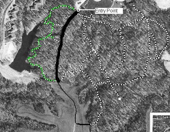 For what it's worth to anyone.... The area marked in green on the map is a great trail if you looking for something easy to moderate. It has some basic skill building areas you could work on. downhills, climbing, cornering. It's not as extreme as the other portions of the trail and not as torn up.  It was fairly clear when I was out there last. |
|
|
|
Post by Tim on Oct 3, 2009 19:06:26 GMT -5
Went out again for a ride just to see if any work had been done on the trails.... nada. I did manage to check out the bent twig / reflection lake trails. There are a few good downhill runs and some technical areas. The rest needs some love  The only spot that is in really good shape is the area marked in red on the map. There are 3 really good down hills and lots of swists. The rest just follows rolling contours. 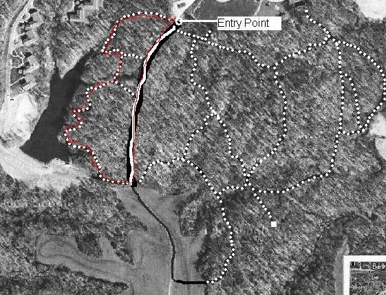 I had a blast on this section, it is somewhat like a mini scales lake 1/20th scale  I'm still looking to get a hold of someone about clearing and turning some of the trails back into usable single track. It really wouldn't be that difficult. i649.photobucket.com/albums/uu218/spiritwild1/IMG00050.jpgi649.photobucket.com/albums/uu218/spiritwild1/IMG00046.jpg |
|
|
|
Post by Tim on Oct 10, 2010 19:01:29 GMT -5
Has a nice ride here today. by all means, these are not standard bike trails. Most run on fall lines and are incredibly eroded. The positive is that it has created some incredibly technical down hill sections. Some of the roots are crazy and it makes for an intersting ride. No endless riding unless you stay on the lake side. Those trails are pretty short but fast. They have contructed a lot of newly paved greenway for the USI/ Burdette park trail and that is a very nice improvement to the area. 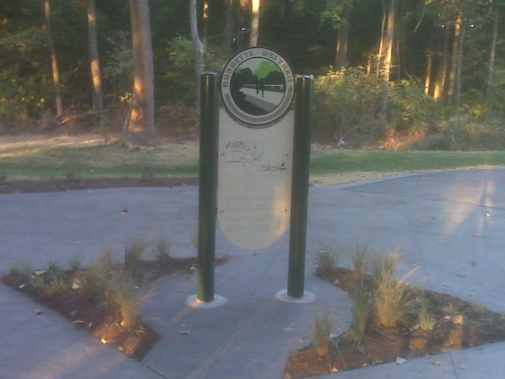 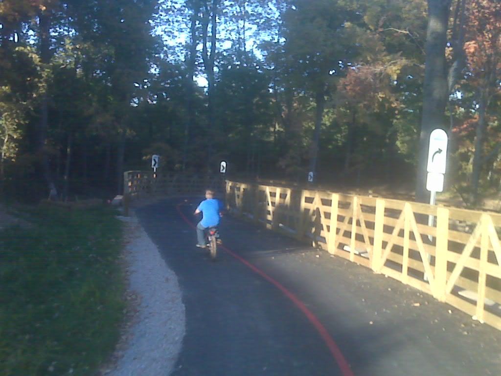 |
|


